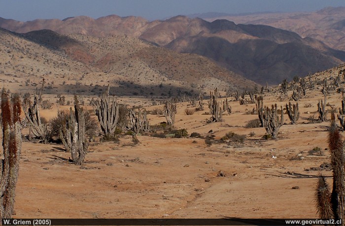
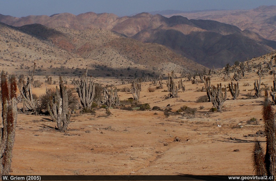
Photo 1: Typical landscape of the sector with abundant succulents, in the Pan de Azúcar National Park - Atacama Desert; Northern Chile.. (Photo W. Griem -2005; Kodak4153) - Large Photo
Photo Information: Camera Kodak DX6490
Focal length: 15,6mm (94/35mm)| Time: 1:500
F: f/7.1 | Original size: 2304 x 1728 | Date: 2005/02/23/18:21 hrs.
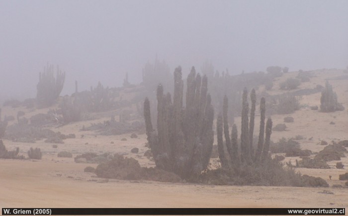
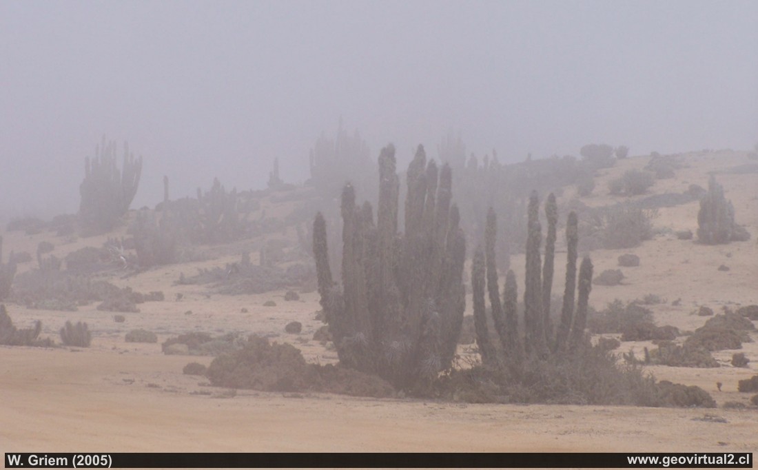
Photo 2:"Camanchaca" is called the fog of the coast
in the sector "Las Lomitas", Pan de Azúcar National Park in the Atacama
Desert. (Photo W. Griem
-2005;
Kodak4178)
Large Photo
Photo Information : Camera Kodak DX6490
Focal length: 28mm (169/35mm)| Time: 1:750r class="style269"
F: f/6.3 | Original size: 2304 x 1728 | Date: 2005/02/24/12:19 hrs.
Pan de Azúcar: p.1 | p.2 | p.3 | p.4
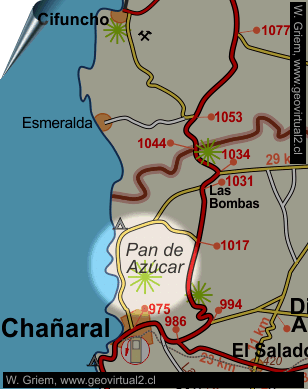
In the national park you can visit several beautiful and interesting places, for example "El Mirador","Las Lomitas" and "Playa Blanca".
Las Lomitas is located in the north of the park and is 800 meters high.
In a few areas of the Atacama Region coast the coastal border is so
pronounced. In addition "Las Lomitas" stands out for its flora,
camanchaca and interesting morphology due to the weathering of an
intrusive rock in a humid environment of heat. There is a refuge and you
can observe the operation of the well-known "fog trap". In addition, a
trail with descriptions of the most important plants in the area was
also prepared.
---
Places of interest
Information about Atacama
Coast of Atacama
San José
Caleta Punta de Choros
Carrizalillo
Huasco
Puerto Viejo
Desembocadura
Las Salinas
Isla Chata
Bahía Cisne
Bahía Inglesa
Caldera
Ramada
Punta Flamenco
Los Médanos
La Cascada
Chañaral
►
Pan de Azúcar
Related to the sector
Chañaral
FFCC Las Bombas
Railroad history of Atacama
Ferrocarril de Chañara
Information
General data Atacama
Distances in Atacama
Books of Atacama
Collection of Books
Road - maps
Atacama landscape
The Atacama desert
Flowering
Atacama desert
Beaches of Atacama
Las Dunas
de Atacama

