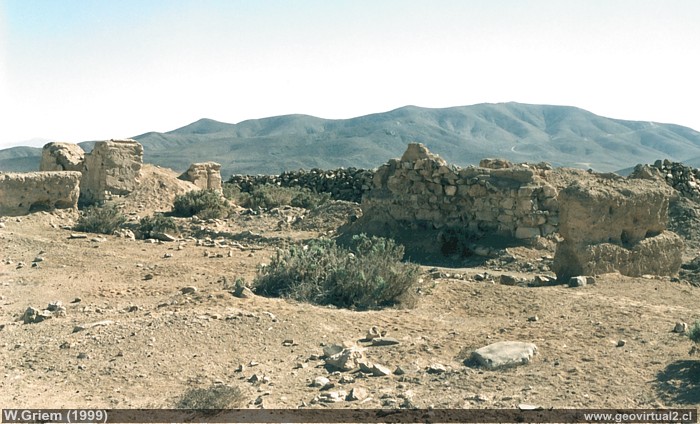
Photo: Ruins of Chañarcillo / Juan Godoy in 2005 (W. Griem; 1999-Ricoh) - Large Photo
Photo Information:
Camera Ricoh KR-10x | Focal Length: s/i | Time:
s/i
Original size: 35mm | Date: 1999

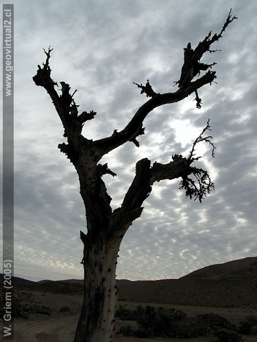
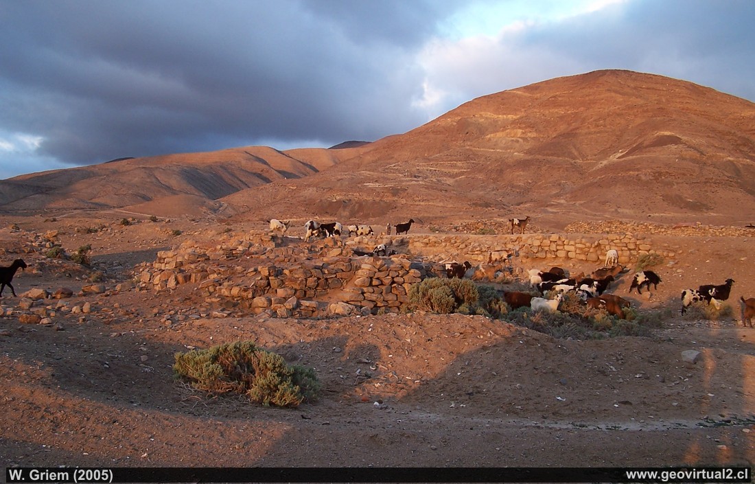
Photo: Chañarcillo Ruins / Juan Godoy People in the
Atacama Region - Chile.
(W. Griem, 2005;
Kodak7275)
-
Large Photo
Photo Information: Camera Kodak DX6490
Focal Length: 6,3mm (=38/35mm)
| Time: 1:60
F: f/2.8 | Original size: 2304 x 1728 | Date:
2005/09/24/18:35 hrs.
Chañarcillo: p.1 - p.2 - p. 3 - cemetery
With the discovery of Chañarcillo (1832) the town of
Juan Godoy was formed. In 1845 the President of the Republic legalized
the people. In the better times, up to 7000 people lived here. The most
serious problems were the lack of drinking water and the general
behaviour of some inhabitants. Assaults, robberies and burglaries were
common these days.
Duels and gambling debts were normal. In 1841 alcohol, firearms,
gambling and single women were banned in the vicinity of the mine. In
1875 a school of exploitation was opened in Chañarcillo (here,
Spanish).
With the decrease in production at the mine, the city of Juan Godoy was
depopulated. 1885 only 1450 people were counted in John Godoy. Due to
diseases and climatic problems, the village quickly became completely
depopulated.
Large Photo
Atacama virtual
Mining Atacama
Intro Chañarcillo
►
Pueblo Juan Godoy
Cemetery
Estación Ffcc Chañarcillo
Descubridora
Mina Dolores 1
Dolores 3
La Colorada
mas minas
Historia de Chañarcillo
Textos sobre Chañarcillo
Illustrationes of Chañarcillo
Descripción de las minas
Geología: Textos históricos
Tourist
information
Atacama
Travel instructions
Behavior in the desert
Specific terms
The Andes mountains
Atacama desert
Del sector
Carretera Panamericana
FFCC a Chañarcillo
FFCC longitudinal
Estación Castilla
Cerro Blanco
Pueblo Totoral
Related pages
Roads of Atacama
Distances between ....
Road
maps
Mining history of Atacama
Others
Railroad history of Atacama
History
of Atacama
Mining history of Atacama
Flora Atacama
Fauna Atacama
Geología
Atacama
Atacama desert
Beaches and coast of Atacama
Rutas de Atacama
Aeródromos en Atacama
Atacama black and white
Virtual viewpoint Atacama
Collection of Books

