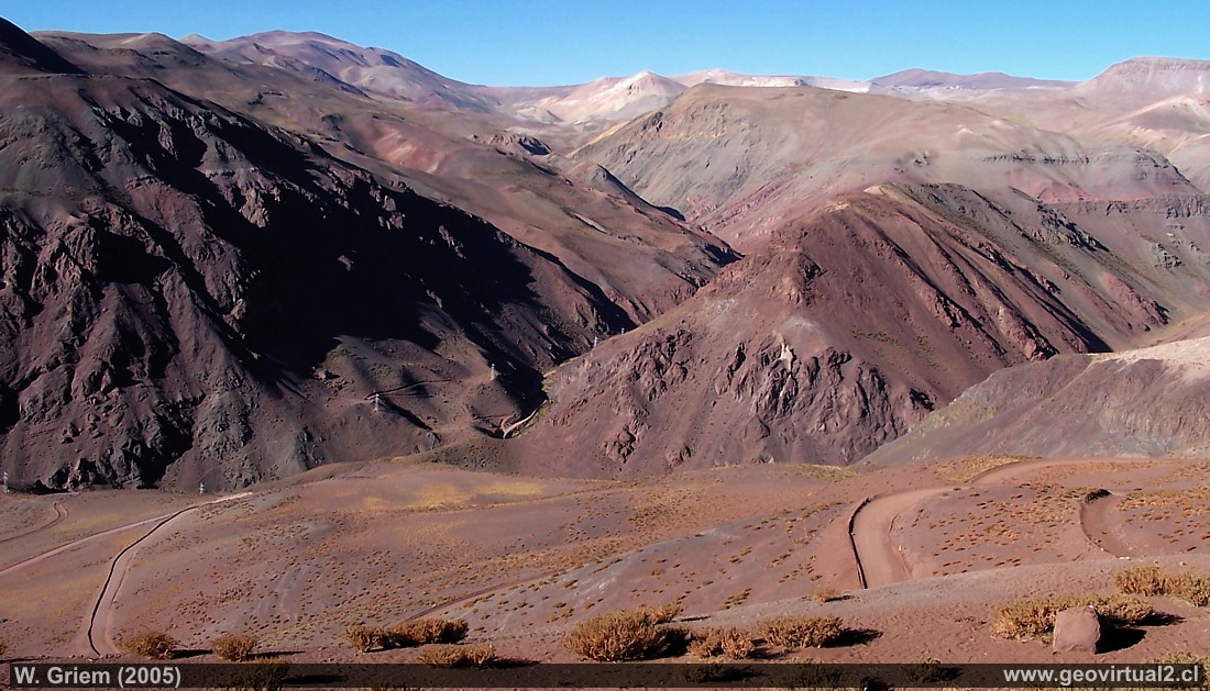
Photo: View of Quebrada Paredones towards the NNE. The road leads to the
Maricunga mine. The reddish sediments produce a pleasant colour in the
afternoon. You can almost not believe that the sector is located at
about 4000 meters high.
The photo was taken from the road that
connects La Guardia with the Maricunga gold mine - just from the pass
altitude that joins the Quebrada Seca with the Quebrada
Paredones. The Maricunga Mine's installations on the horizon / right is
seen as a small white dot with a good eye.
Here same sector in
winter.
(Kodak3867; W. Griem 2005)
Description:
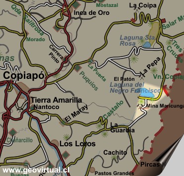
Location: Paredones, between La Guardia and Mina Maricunga.
Next village: Tierra Amarilla (145 km) or Los Loros, next stop: Mina
Maricunga (22 km) or La Guardia (39 km)
Petrol: Tierra Amarilla (145 km) or Copiapo (160 km)
Road condition: Good, salted, better SUV or Jeep, Pickup
Worth seeing: Viewpoint Andes, river oases, fauna and flora of the
Andes.
UTM: E463.223 / N69.43.466 - Height: 3926 m..
Information Photo: Kodak Camera DX6490
Focal length: 6,3mm (=38/35mm) | Time: 1:180
F: f/8 | Original size: 2304 x 1728 | Date: 2005/02/07/18:30
hrs.
Viewpoint Atacama
Places of interest

Content Viewpoint Atacama
Landscapes of Atacama desert:
Paipote ravine from Llampos
Desde la mina Aguilar
Desert view from Tiro plain
Lomas Bayas hacia Port. Dadin
Cemetery
of Lomas Bayas
Pre-cordillera con nieve
La Sierra Peineta
El Salado
Qda. Paredones
Cerros de Merceditas
Leoncito - El Patón
Portezuelo Chinches - Tambaría
Cerro Cadillal o Anselmo
The sector
Lomas Bayas
Cemetery of Lomas Bayas