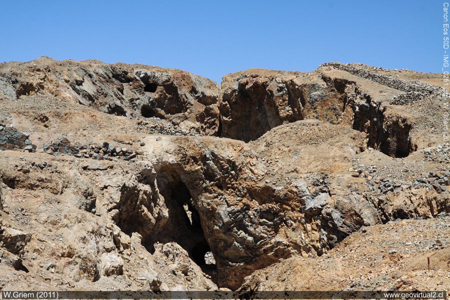
Photo: The work of the ex-mina Buena Esperanza (Atacama Region, Chile)
in November 2011; (W. Griem;
Ca50D10261)
Large Photo
Información Foto: Cámara Canon 50D: [IMG_0261.jpg]
Lente: 17-70mm | Longitud focal: 62mm (98,8/35mm) | Tiempo: 1:160 | ISO100
F: f/13 | Tamaño original: 4752 x 3168 | Fecha: 2011/10/31/13:47 hrs.

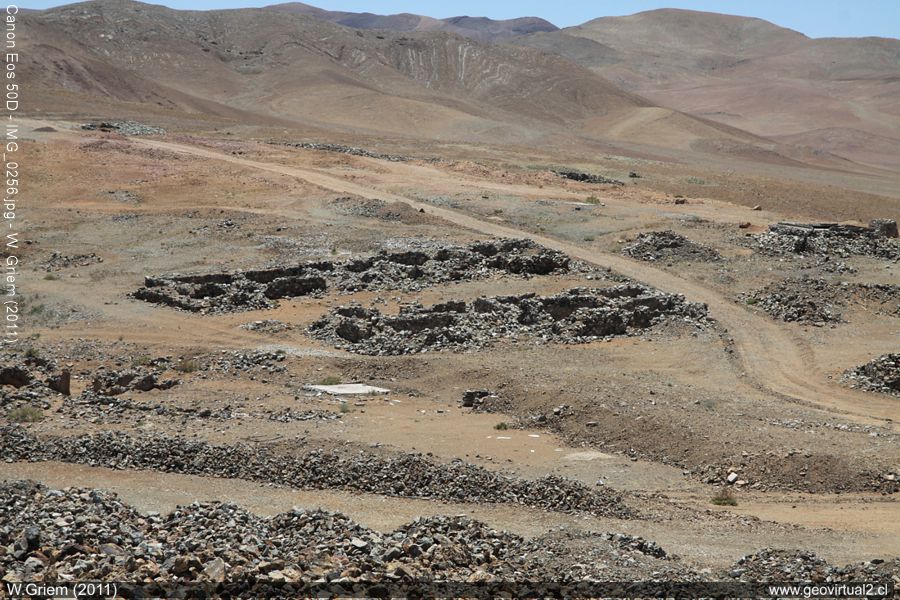
Photo: Mina Buena Esperanza in the Chimberos sector - Tres Puntas
(Region of Atacama, Chile). Foto W. Griem, 2011;
Ca50D 10256.
Large Photo
Información Foto: Cámara Canon 50D: [IMG_0256.jpg]
Lente: 17-70mm | Longitud focal: 70mm (111/35mm) | Tiempo: 1:200 | ISO100
F: f/13 | Tamaño original: 4752 x 3168 | Fecha: 2011/10/31/13:46 hrs.
Buena Esperanza: p.1 | p.2 | p.3 | Hist. |Data
The mines at the "Buena Esperanza" region mine follow
the rich ore veins faithfully. In the first phase of mining, underground
work was carried out for the most part, and only in the last years did
they attempt to open-cast mining in a somewhat larger style. The
official statistics from 1869 speak for themselves: The Buena Esperanza
was the most successful mine in the region. It produced more than the
entire
Chañarcillo
district.
More than 42% of the fine silver of the Department
Copiapó in 1869 was mined in the Esperanza Mine. The efficiency was also
impressive: This year, they process 1269 kilograms of rocks on average
per worker (per month). During this period, 400 - 500 kilograms of
quarried rock were usual: this figure shows a relatively high degree of
mechanization of the mine and very well-planned and executed excavation
methods.
Mining Atacama
History of Atacama

Mining and Mines
List
of mine districts
Mining
between 1830-1920
Chañarcillo
Tres Puntas
Village of Tres Puntas
Cemetery of Tres Puntas
►
Mine of Buena Esperanza
Mina Cobriza
Cronología de Tres Puntas
Historical records
Treutler, living in Tres Puntas
Treutler:
Salvadora mine
Philippi en Tres Puntas
más Tres Puntas
Cerro Blanco
district
Lomas Bayas
Agua Amarga
Distrito Inca de Oro
Puquios - Carrera Pinto
Carrizal Alto
Checo de Cobre
More mining districts ...
Area Tres
Puntas
Estación FFCC Chimbero
Inca de Oro
village
Carrera Pinto
(ruins)
Distrito Inca de Oro
Ruta Copiapó - Diego de Almagro
Additional information
Timeline Atacama
Railroad history of Atacama
History of Atacama
Mining history of Atacama
Atacama black and white
Road maps of Atacama
Historical maps of Atacama
Persons of Atacama

