
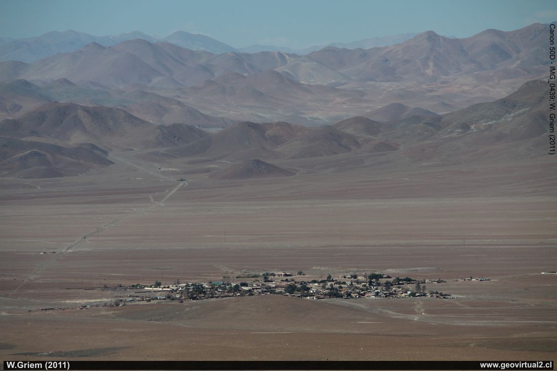
Photo: Inca de Oro from Las Guías, Atacama Region - Chile. (W. Griem
2011;
Ca50D10439)
View of Inca de Oro to the east. In ancient times, the Inca Trail (Camino de Inca)
crossed exactly where the great plain is today located Inca de Oro.
Large Photo
Photo Information:
Camera Canon 50D
Lens: 55-250mm | Focal length: 163mm (=259/35mm) | Shutter speed: 1:1000 | ISO100
F: f/7.1 | Original size: 4752 x 3168 | Date: 2011/10/31/16:37 hrs.
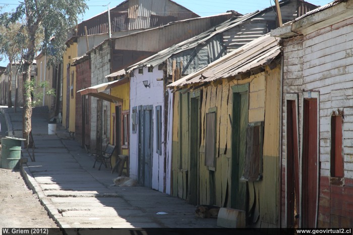
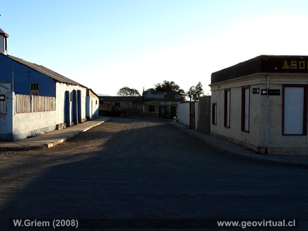
Photo:
Inca de Oro en sunset; Atacama Region - Chile. (W.Griem 2012
Ca50D-6711)
Large Photo
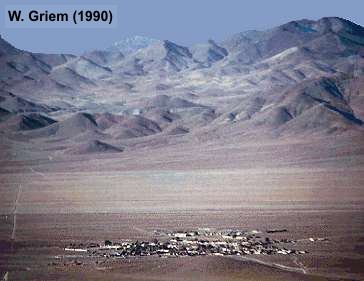
Photo de Inca de Oro de 1989 (W. Griem 1989)
Information Photo: Camera Canon 50D
Lente: 18-135mm | Focal length: 113mm (=180/35mm) | Shutter speed: 1:80 | ISO100
F: f/13 | Original size: 4752 x 3168 | Date: 2012/11/02/15:42 hrs.
Inca de Oro: p.1 │p.2│p.3 │ p.4 │ FFCC
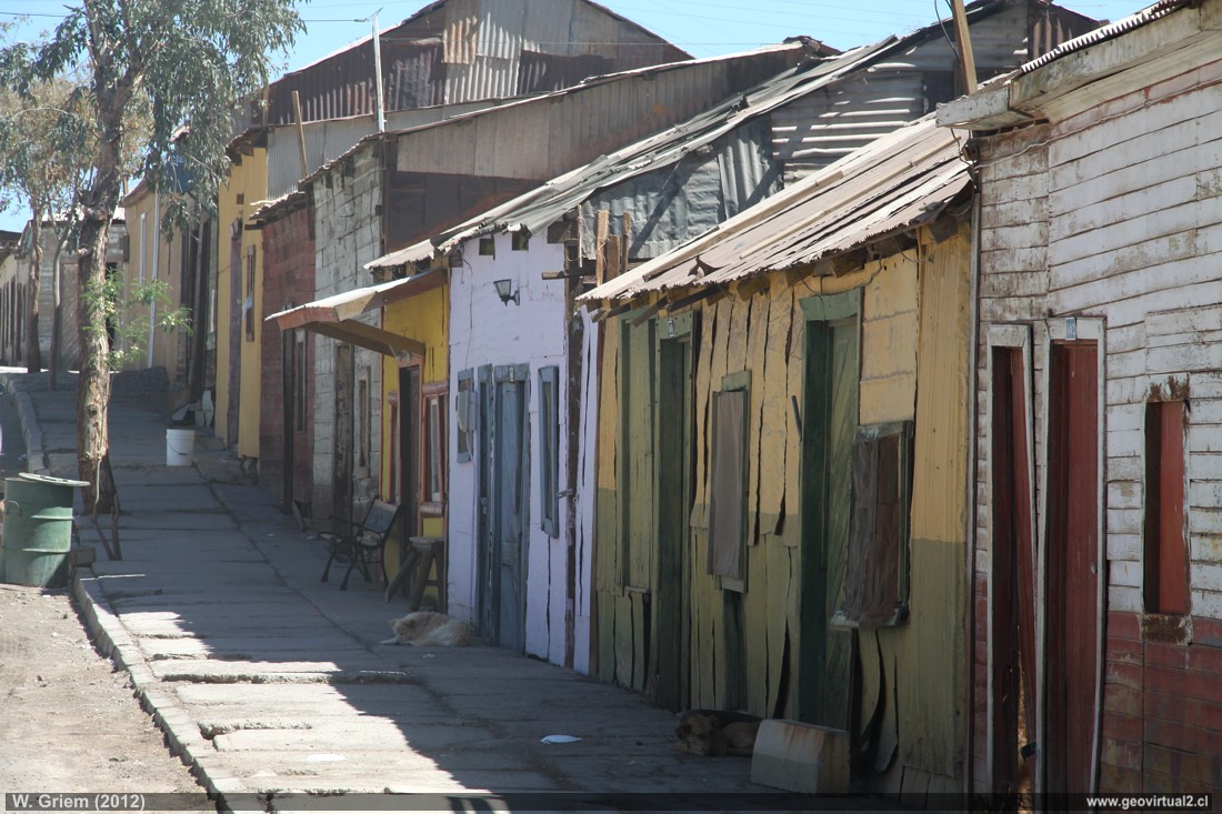
The village of Inca de Oro is located 100 km northeast
of Copiapó. Inca de Oro (in some times it was called "Cuba", interesting
is that TREUTLER in his map of 1852/57 uses Inca de Oro) was an
important mining center. Located in the wasteland Llano de Varas between
Carrera Pinto and Diego de Almagro. Inca de Oro has a long mining
history. Especially thanks to the gold sector in the southwest of town.
But also the sectors in Qda. Chañaral Alto and Sierra Caballo Muerto
were important sources of income.
As already mentioned: The current Inca de Oro was called Cuba, at one
time San Pedro de Nolasco and now Inca de Oro. The railway station in
many fountains is named San Pedro de Nolasco.
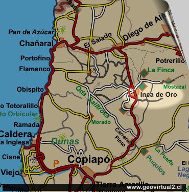
Inca de Oro belongs to the Province of Chañaral, Comuna Diego de
Almagro.
Inca de Oro
information:
Province of Chañaral, Commune Diego de Almagro
Population: 900 inhabitants (approx.)
Height: 1570 m
Distance to Santiago: 902 km
Distance to Copiapó: 102 km
UTM: E410.098 / N70.41.472
Restaurants, basic stores, museum
The village Inca de Oro
Map of the village - Inca de Oro
Railroad station Inca de Oro
Mining district of Inca de Oro
Near:
Route Copiapó - Diego
Quebrada,
La Finca
de Chañaral Alto,
Tres Puntas
Places of interest
Information about Atacama

Route Copiapó - Diego
Introduction
Copiapó (Km 0,0)
Chulo (Km 24,7)
Desert viewpoint (Km 34,9)
Ruins of Llampos
(km 50,0)
Carrera Pinto
(ruins) (km 61,5)
Llano de Varas (km 70)
Chimberos (Km 84,6)
►Inca
de Oro (Km 101,7)
►
Village
Train station
Mining district
Camino a Finca de Chañaral
Llano San Pedro (km 115)
Diego de Almagro (Km 147,3)
Railroad history of Atacama
Railway station of Inca de Oro
Mining area Inca
de Oro
Mining districts of Atacama
Inca de Oro
district
Tres Puntas
Area Around
El Salvador
Potrerillos
Finca Chañaral
Alto
Qda. Chañaral Alto - intro
Related pages
Roads of Atacama
Distances between ....
Road
maps
Mining history of Atacama
Tourist
information
Atacama
Travel instructions
Behavior in the desert
Specific terms
The Andes mountains
Atacama desert

