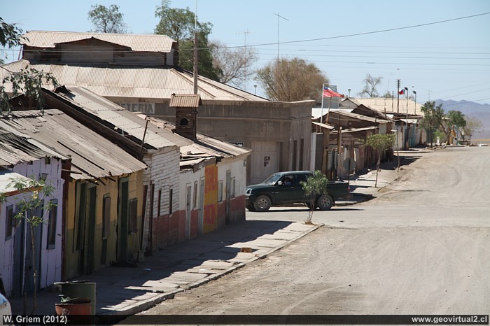
Street of Inca de Oro (Atacama Region) in the year 2012 (W. Griem; 2012 Ca50D-6745) - Large Photo
Information Photo:
Camera Canon 50D
Lente: 18-135mm | Focal length: 106mm (=169/35mm)
| Shutter speed: 1:250 | ISO100
F: f/9 | Original size: 4752 x 3168 | Date: 2012/11/02/15:51 hrs.
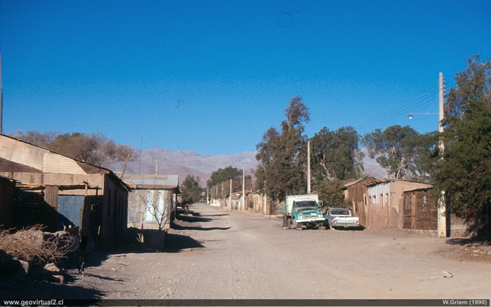
Photo: Street of Inca de Oro 1989/1990, on a Sunday afternoon . . . - (W. Griem; Ricoh) - Large Photo
Information Photo:
Camera Ricoh KR-10x | Focal length: s/i | Shutter speed:
s/i
Original size: 35mm | Date: 1990
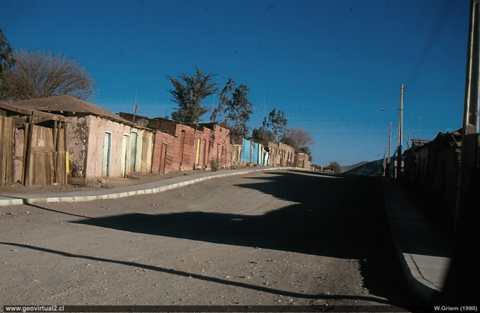
Photo: Street of Inca de Oro 1989/1990 - (W.Griem; Ricoh) - Large Photo
Information Photo:
Camera Ricoh KR-10x | Focal length: s/i | Shutter speed:
s/i
Original size: 35mm | Date: 1990
Inca de Oro: p.1 │p. 2│p.3 │p.4 │FFCC
The streets outside the center of Inca de Oro show more
modest houses. The dynamics of mining over time produced a strong
fluctuation in people. If the price of copper and gold are rising in the
village, the number of inhabitants increases considerably. In times of
low prices many houses are left empty and little by little they remain
in ruins.
Since many years Inca de Oro was left in decline for several reasons.
Small mining in the sector is not seeing the necessary growth. Many
professionals prefer to live in Copiapó and travel daily to nearby Inca
de Oro. Many houses were left abandoned, as can be seen in the two
photographs of the eighties.
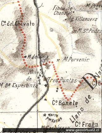
1906 Riso Map: Sector Inca de Oro to Tres Puntas in the Atacama Desert, Chile
Places of interest
Information about Atacama
Route Copiapó - Diego
Introducción
Copiapó (Km 0,0)
Chulo (Km 24,7)
Desert viewpoint (Km 34,9)
Ruins of Llampos
(km 50,0)
Carrera Pinto
(ruins) (km 61,5)
Llano de Varas (km 70)
Chimberos (Km 84,6)
►Inca
de Oro (Km 101,7)
►
Village
Estación ferrocarril
Mining district
Camino a Finca de Chañaral
Llano San Pedro (km 115)
Diego de Almagro (Km 147,3)
The railroad history of Atacama
Estación FFCC de Inca de Oro
Mining area Inca
de Oro
Mining districts of Atacama
Inca de Oro
district
Tres Puntas
Area Around
El Salvador
Potrerillos
Finca Chañaral
Alto
Qda Chañaral Alto - intro
Related pages
Roads of Atacama
Distances between ....
Road
maps
Mining history of Atacama
Tourist
information
Atacama
Travel instructions
Behavior in the desert
Specific terms
The Andes mountains
Atacama desert

