
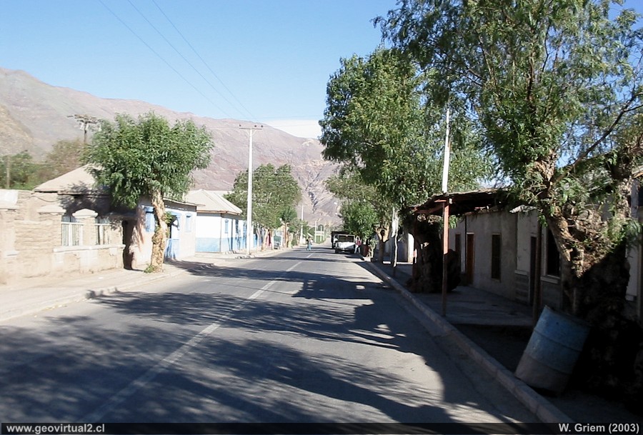
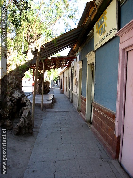
Photo: Main street in the village of Los Loros - Atacama Region, Chile. (W. Griem 2003; CanonPowershot1500): Foto en grande
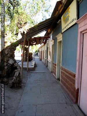
Photo: Main street in the village of Los Loros -
Atacama Region, Chile.
Foto W. Griem (2003;
CanonPowershot1502)
Foto grande
Photo Information:
Camera Canon Powershot-A100 (114-1502_IMG)
Focal length: 5,41mm (=44mm/35mm) | Time: 1:250
F: f/2.8 | Original size: 1280 x 960 | Date: 2003/11/07/17:03 hrs.
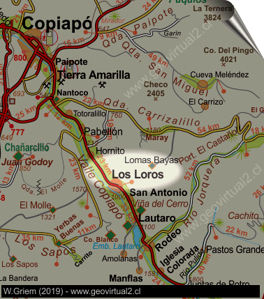
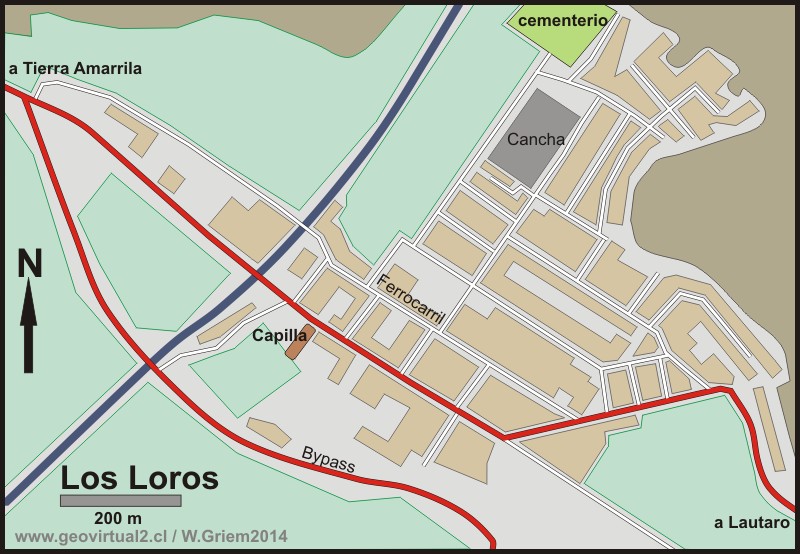
Los Loros (means "the parrots") has about 1800 inhabitants and belongs to the commune Tierra Amarilla (Atacama region). It is located in the interior of the Copiapó Valley, 62 kilometers away from the capital of the Atacama Region, Copiapó.
Informative table:
Location: Los Loros, Region of Atacama
Comuna Tierra Amarilla, Province of Copiap
UTM: E390.775 / N69.21.021
Altitude: 956 m
Distance to Copiapó: 62,3 km (road)
According to
Espinoza (1895) "Loros",
as Los Loros used to be called, had 534 inhabitants this year. Los Loros
in the beginning was the center of Mineras
Lomas Bayas and
Cerro Blanco. But with the increase in production at both mines, the
roads to Los Loros were no longer in use.
Cerro Blanco was connected by
Yerbas Buenas / Carrizal Bajo and
Lomas Bayas by the
Quebrada Carrizalillo. To this day, the steep flanks of the Copiapó
valley mark a morphological obstacle.
The Los Loros sector kept the agriculture and some small mining plants.
Many historical publications highlight the high fertility of the sector.
It is also mentioned that the railroad had an extremely agricultural
use.
The historic role of the Copiapó Valley as a main road from and to
Argentina must also be highlighted, there is a significant amount of
traffic and towns such as Los Loros were places to rest or spend the
night.
Places of interest
Information about Atacama

Intro valle Río Copiapó
Copiapó (Km 0,0)
Tierra Amarilla (km 15,7)
Nantoco (Km 22,2)
Sector Nantoco
The Copiapó river
-
a Cerro Blanco
Punta Brava (Km 53,7)
►
Los Loros
(Km 62,3)
San Antonio (Km 70,1)
Smelter Inka (Km 74,0)
Aqueduct
Amolanas (Km 82,2)
Reservoir Lautaro (Km 84,2)
Iglesia Colorada (Km 110,1)
Río Montosa (Km 115,4)
Junta de Potros (Km 118,9)
La Semilla
Pastos Grandes (Km 137,1)
Qda. Pircas Coloradas (146,1)
Port. Cachitos (Km 167,1)
Río Turbio (Km 194,5)
Area
FFCC Copiapó - San Antonio
Atacama en b/n Tierra Amarilla
Qda. Carrizalillo
Valle Copiapó abajo
Mapa del sector
Sector en 3D
Domeyko: Excursión al valle del río Copiapó 1843
Related pages
GILLISS excursion Come Caballo
The Andes mountains
Atacama desert
History
of Atacama
Mining history of Atacama
Pages of interes
The railroad history of Atacama
Mining history of Atacama
History
of Atacama
Virtual vantage point to the Desert
Vida Atacama en b/n

